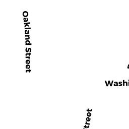
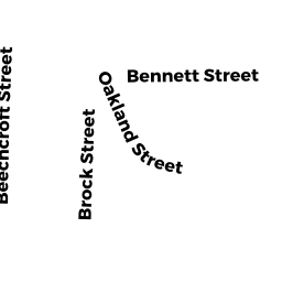
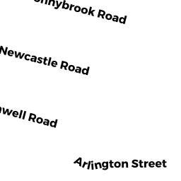
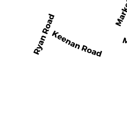
6260 Bennett ST
Owner Information
WONG PETER
159 COMMONWEALTH AV &
CHESTNUT HILL, MA 02467


Property Details
6260 Bennett ST is classified as a Two-Family Residential (Conventional).
The primary structure on this property was built in 1920. There is 2,272ft2 of residential/living space within this property. This property is listed as having 10 rooms.
6260 Bennett ST is valued at $891,200. The land is valued at $321,600 and the structures are valued at $569,600.
The most recent deed for 6260 Bennett ST is recorded at the local registrar in Book 50903, Page 1RL. 6260 Bennett ST was last sold on Friday, December 31, 1993 for $9.
Assessment data from fiscal year 2020.
Flood Data
According to the FEMA National Flood Hazard Layer, this property does not appear to be in a flood zone. It may also be in an area not yet reviewed. Nonetheless, confirm this information prior to taking any action.
To view the flood hazards around this property, create a FEMA "Firmette" Map of the area around 6260 Bennett ST.
Broadband Internet Providers
| Provider | Type | Bandwidth (mbps) | |
|---|---|---|---|
| Viasat Inc | Satellite | 100 | 3 |
| HughesNet | Satellite | 25 | 3 |
| Starry, Inc. | Fixed Wireless | 200 | 200 |
| RCN | Cable | 1000 | 20 |
| RCN | Cable | 500 | 20 |
| Comcast | Cable | 1000 | 35 |
| Verizon New England Inc. | Fiber | 940 | 880 |
| Verizon New England Inc. | DSL | 15 | 1 |
| Crown Castle Fiber | Fiber | 0 | 0 |
| GCI Communication Corp. | Satellite | 0 | 0 |
| VSAT Systems, LLC. | Satellite | 2 | 1 |
Broadband service provider data from December 2020.
Adjacent Properties
- 58 Bennett ST
Single Family Residential owned by INGLIS GEORGE B ETAL - 6664 Bennett ST
(formerly Religious Organizations. Removed June 2009.) owned by MISSIONARIES OF LA SALETTE CORPORATION - 77R SURREY ST
Other, Open Space owned by SEVENTY-7 SURREY ST CONDO TR - 79 SURREY ST 3
Residential Condominium owned by CHAN HENRY - 79 SURREY ST 6
Residential Condominium owned by BRUCCULERI-BURSTEIN MARIA A - 79 SURREY ST 1
Residential Condominium owned by SMOTHERMAN JORDAN L - 79 SURREY ST 2
Residential Condominium owned by CONLEY KERRY E - 77R SURREY ST UNIT A
Residential Condominium owned by KWONG CYNTHIA - 77R SURREY ST UNIT B
Residential Condominium owned by ERITEN INC - 79 SURREY ST 5
Residential Condominium owned by CIETANNO KERRY L - 79 SURREY ST 4
Residential Condominium owned by ROBERTS MITCHEL